Planet Labs’ Iran satellite blackout leaves cultural heritage in the dark
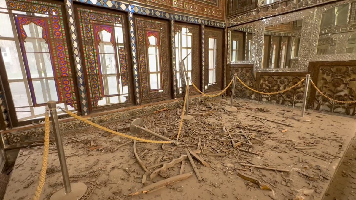
Internet shutdowns and restricted satellite imagery leave both ground reporting and independent verification of damage constrained.

Internet shutdowns and restricted satellite imagery leave both ground reporting and independent verification of damage constrained.